- Summery of Qualifications
1- B.Sc.in Science /University of Baghdad-Collage of Science-Depts. of Geology- 1999.
2- M.Sc. Specialist in Geomorphology & Remote Sensing -2009.
- Summery of Courses
1- Negotiation – 2005
2- Excel -2006
3- Primary Arc GIS-2010
4- Training of trainer (T.O.T)-2010
5- Capacity Building on Remote Sensing and Geographic Information System For Iraq/held in Turkey-2011
- Professional Experiences
1- Start work in State Company of water well drilling in (2001). Recently the name of this company is (General commission of groundwater).
2- Recently work in National Center of water management since 15/3/2010.
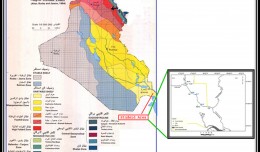
3- I have a research published in Iraqi Journal of science. Titled “Using Arc GIS to determine some landforms in Salman depression-South Iraq”.
4- Research published in Iraqi Geographical Magazine. Titled “Using NDVI algebra to identify changes in Ha’danya depression/South IRAQ”.
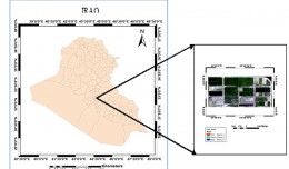
5- Research published in Iraqi Geographical Magazine. Titled” Remote Sensing and GIS Application in Land Cover Detection Study/ BAGHDA City Using Multi-Temporal Satellite Data”.
6- Participate in First International Conference of Remote Sensing and Image Processing in research tilted ” CHANGE DETECTION IN HOUR-IBN NAJAM / MIDDLE OF IRAQ BY USING WATER INDEX (W.I) ALGBRA”
7- Lecturer for Remote Sensing Subject.
8 – Good user to Microsoft office (Word, Power point, and Excel) as well as the Internet.
9 -Experiences in Satellite Images & Remote Sensing.
- Languages
1- Arabic (Native language)
2- English
 English
  Français
  العربية


