ملخص
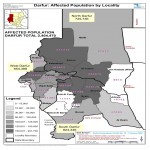
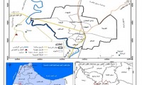
The research studied the role of using the geographical information system in crisis and disasters management by selecting random specimen from the Ministry of Humanitarian Affairs and Civil Defiance Directorate . The result of the study showed the effect of the geographical system applications and its feasibility for decision makers by using it as interpretation mechanism for setting up the optimum solutions. This led and helped in decision making swiftness as well as appropriate and prompt response .Moreover, the usage of the geographical information system saves time and efforts for humanitarian workers, it improves quality of work by using remote sensor techniques. Beside that it represents the states of things as they are and in rational and in more secured manner in order to reduce human losses and human resources.
The study concludes that the role of the geographical information system covers all the phases of the crisis from the beginning where it acts as early warning tool and it provides the maps and relevant necessary information during the crisis continuity. It roles also goes beyond that at post crisis period by keeping and storing the necessary data and information for future use in similar and identical catastrophes and calamities.
الكاتب
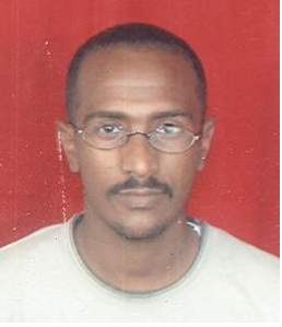
حسن محمد حمزة
- MSC in Remote Sensing and Geographical Information Systems, Omdurman Islamic University (2011)
- BSc in Information System Albayan College (2003)
- Diploma mediator in SSCO, SUDACAD (2004)
- Basic Data Analysis workshop in world Food Program ,Khartoum, 22/9-29/9/2008
- Basic of Food Security (HEA) and (IPC) Nutrition and Food Security 1-3 June 2008 Alfasher HAC Darfor.
- mechanism
- Team Building and Leadership Development, Reference consultation and Business Development 19-22 Oct 2009
- Human Resource Management, Reference consultation and Business Development, 14-16 July 2009
- Negotiation Skills, Builders consultation, 1-4 June 2009
- Reporting Writing, RedrUK Organization, 27-28 Nov 2012
- Sphere in Practice, RedrUK Organization, 16-17 May 2012
- Humanitarian Principles and Practice, RedrUK Organization, 26-28 June 2012
- Accounting & project evaluation -Administrative improvement Centre- 30/11-4/12/2008
- Conflict Resolution Tools within Governmental Bodies,24-26 Mar 2009
- Regional Training Workshop on Contingency Planning for IGAD Member States. May 13-16th 2013. Entebbe Uganda
- Specialized Programme on Application Development using GIS and Remote Sensing from 17-1 to 11/3/2011 in India
- Work shop on Earthquake Disaster Emergency Response in the Developing Countries, 21/10 – 3/11/2007 Beijing, China
- Working within technical coordination committee for memorandum of understanding between government of Sudan, African Union & Arab League.
- Information and Report Coordinator in Emergency Unit HAC – June 20013 – Now.
- Secretariat of the Executive Office, Office of the Commissioner General, 2010-2013
- Information and Report Coordinator in Emergency Unit HAC – June 2006 – 2010.
- Information Analysis Office, Planning Department, Ministry of Humanitarian Affairs, May 2005 – June 2006
- Report Officer, information Department, Ministry of Humanitarian Affairs, April 2004 – May 2005
- Using Analysis software:
- Using Analysis system:
- Team working.
- Hasabo Mohammed Abd Alrahman
- Dr. Solaf Aldin salah
- Azhary Alsedeeg
- Bader Aldin mohammed khar
- Arbab Mohammed yasin
 English
  Français
  العربية


