English
  Français
  العربية

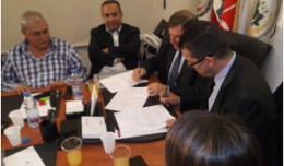
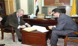
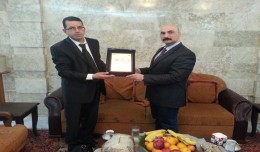
Signing a collaboration protocol between the Euro-Arab Union of Geomatics and the Arab Union of Survey
A collaboration protocol was signed on Wednesday morning May 15,2013 inthe Euro-Arab Union of geomatics office inBeirut,Lebanon. The protocol states the technical and scientific cooperation between academics and professionals i...