Abstract
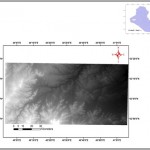
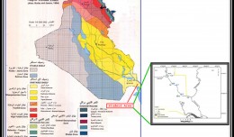
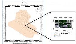
Lineaments can have significant impact on hydrogeology since they reflect evidence of zones of permeability and porosity. Additionally, it has been found that wells yields are significantly enhanced in carbonate rocks settings where wells are sited on fracture traces or fracture trace intersections. The study area lies west of Iraq with coordinates: (39° 53′ E, 33° 18′ N), (41° 5′E, 32° 47′ N), with approximate area of 6479 Km2. Dem images with 90 m resolution were used in the research to create four shade relief maps with (0, 45, 90, and 135) azimuth angle. In addition data from nine wells represent the groundwater in study area were used. There was 1000 lineaments extract in the study area; classification was made of lineaments depending on length (short 976, medium 19, and long 5). It is concluded that availability of groundwater in the study area occurs in locations that contain small number of lineaments, and that large number of lineaments gives a clue of deep groundwater because lineaments are a passages that groundwater seeps through it.
Key words: Lineaments, DEM, Shade relief, Groundwater.
Writer

 English
  Français
  العربية


